-
 ×
- Hjem
- Kunsttrykk ▸
- Kunstnere ▸
- Kategorier ▸
- Kunststiler ▸
- Bilderamme ▸
- Trykkmateriale ▸
- Alle trykkmedier
- Lerret Leonardo (sateng)
- Lerret Salvador (matt)
- Lerret Raphael (matt)
- FineArt Photo Matte
- FineArt Photo Satin
- FineArt Photo Baryte
- FineArt Photo Glossy
- Akvarell papp Munch
- Akvarell papp Renoir
- Akvarell papp Turner
- Akvarell papp Dürer
- Natural Line Hemp
- Natural Line Rice
- Kozo White, 110g
- Kozo Natural, 110g
- Inbe White, 125g
- Unryu, 55g
- Bamboo, 110g
- Premio Unryu, 165g
- Murakumo Natural, 42g
- Bizan Natural, 300g
- Bizan White, 300g
- Kompositt av aluminium 3mm
- Akrylglass 5mm
- Bestill prøvesett
- Hvilket trykkmedium passer?
Lerret
Fotopapir
Akvarellkartong
Natural Line
Japansk papir
Spesialmedier
Mer informasjon
- Hjelp og service ▸
- Kontakt oss
- Selg kunsten din
- Ofte stilte spørsmål
- Ledige stillinger
- Reklamasjon
- Bestill prøver
- Bestill gavekort
- Fraktkostnader
- Produksjonstid
- Bærekraft
- Bildeundersøkelse
- Spesielle forespørsler
- Hvem er vi?
- Prisstrategi
- Bedriftspolitikk
- Kvalitetsløfte
- Utmerkelser
- Blindramme
- Passepartout
- Dekorative rammer
- Glas
- Lister
- Opphengssystemer
- Trykkmedier
- Vedlikeholdstips
- Avtrykk
- Betingelser og vilkår
- Databeskyttelse
- Angrerett
Info og service
Mer informasjon
Verdt å vite
Rettsinformasjon
- Nettbutikk ▸
- Kontakt





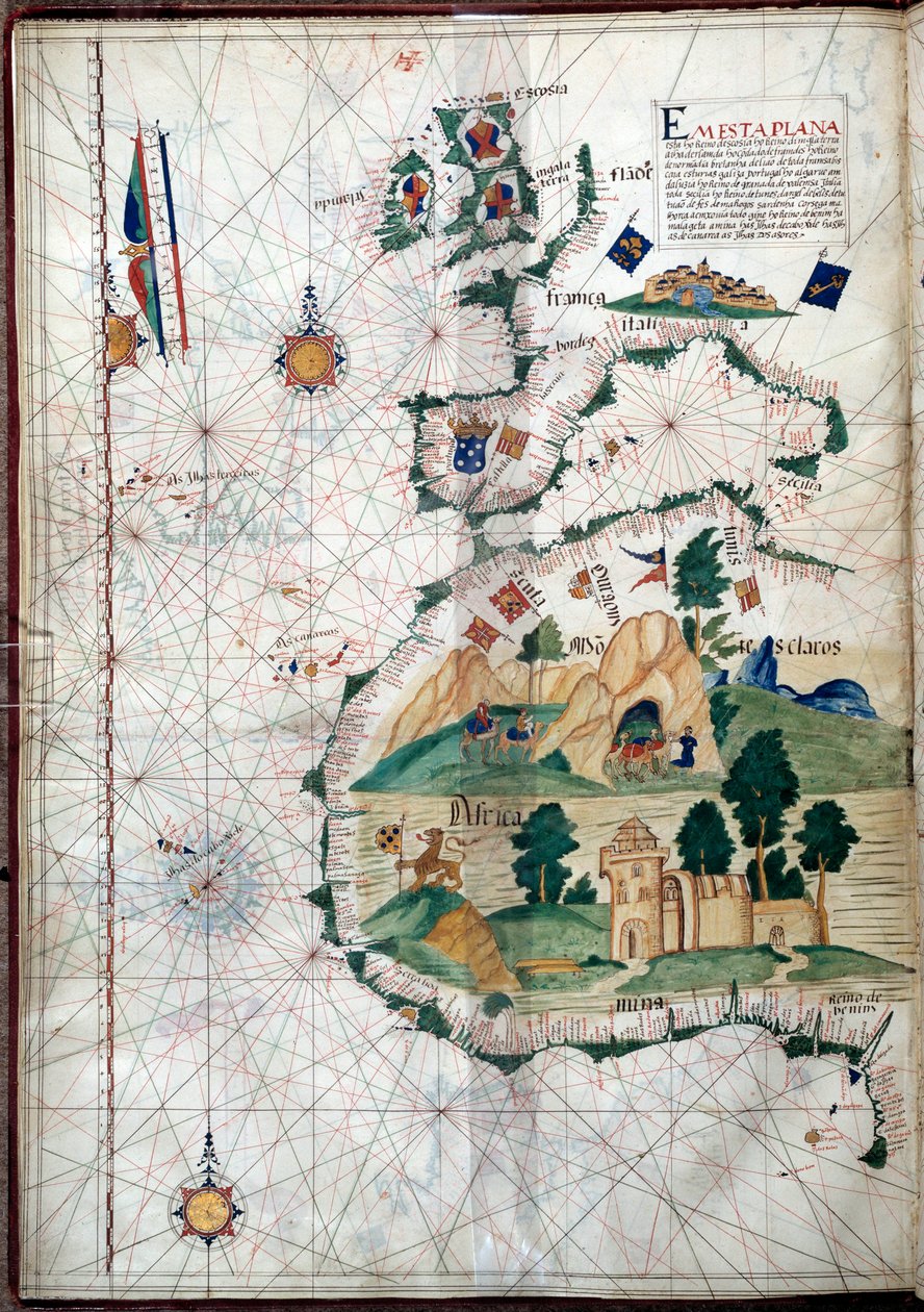
.jpg)
 Se i 3D / AR
 Legg til favoritter
 Velg veggfarge
 Vis maleriet i et rom
 - (MeisterDrucke-107630).jpg "Egypt og Rødehavet, fra et nautisk atlas over Middelhavet og Midtøsten (blekk på vellum)")

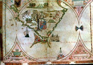
.jpg "Fol. 47v Kart over Peru, fra «Cosmographie Universelle», 1555")
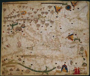
 (see also 330937-330938) - (MeisterDrucke-82399).jpg "Middelhavsområdet, fra et nautisk atlas, 1646")
.jpg "Kart over Arabia og det østlige Middelhavet, del av et Portolan-atlas, ca. 1650 (penn og blekk på papir)")
.jpg "Sjøkart over Middelhavet og Svartehavet")
 (see also 330914) - (MeisterDrucke-115397).jpg "Det østlige Middelhavet, fra et nautisk atlas, 1520 (blekk på vellum) (se også 330914)")
.jpg "Sjøkart over Middelhavet og Svartehavet")
 - (MeisterDrucke-104412).jpg "Kart over Molukkene, 1522")
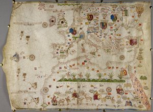
 (detail from 330916) - (MeisterDrucke-131759).jpg "Nord-Afrika, fra et nautisk atlas, 1520 (blekk på vellum) (detalj fra 330916)")
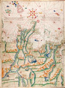

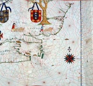
.jpg "Svartehavet og det østlige Middelhavet")
 (detail from 330913) - (MeisterDrucke-123431).jpg "Rødehavet, fra et nautisk atlas, 1520 (blekk på vellum) (detalj fra 330913)")
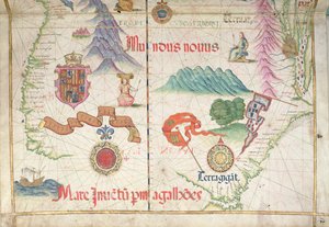
.jpg "Sjøkart over Middelhavsområdet, inkludert Europa med De britiske øyer og en del av Skandinavia")
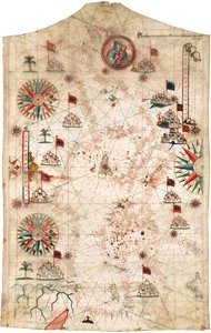
.jpg "Svartehavet og det østlige Middelhavet")
 (see also 330920-330921) - (MeisterDrucke-83175).jpg "Atlanterhavskysten av Europa og det vestlige Middelhavet, fra et nautisk atlas, 1651 (blekk på vellum) (se også 330920-330921)")
 (detail from 330919) - (MeisterDrucke-120357).jpg "Byene Marseille og Genova med sine havner, fra et nautisk atlas, 1651 (blekk på vellum) (detalj fra 330919)")
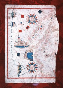
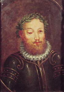
 (panel) - (MeisterDrucke-62799).jpg "Portrett av Johan II av Portugal (1455-95)")
.jpg "Vasco da Gamas karavell, illustrasjon fra ‘Memórias das Armadas...’, ca. 1568")
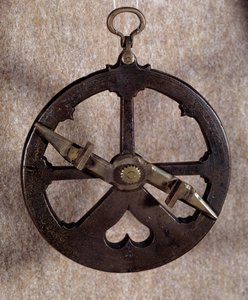
.jpg "Geografisk kart over Asorene, 1587")
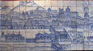
.jpg "Ferdinand Magellans skip «Victoria», det første som seilte rundt jorden")
 Portuguese soldier and first viceroy of the Indies - (MeisterDrucke-42041).jpg "Francisco de Almeida (ca. 1450-1510), portugisisk soldat og den første visekongen i India")


 The Fortunate King of Portugal from Lettura Nova by Alem Duoro 1513 - (MeisterDrucke-63889).jpg "Manuel I (1469-1521) «den lykkelige», konge av Portugal, fra «Lettura Nova» av Alem Duoro, 1513")
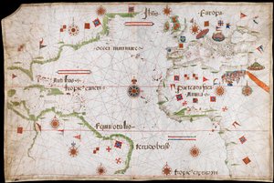
.jpg "Kart over Atlanterhavet, ca. 1550")
.jpg "Venus")
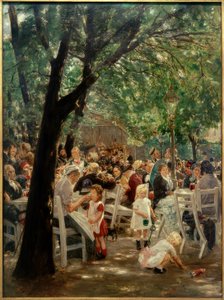
 from Choix des Plus Belles Fleur - (MeisterDrucke-248643).jpg "Rosa banksiae (Banks")
.jpg "Okeanidene")
.jpg "Morgen i en furuskog")
.jpg "De valencianske fiskerne")
.jpg "En ung jente som forsvarer seg mot Eros")
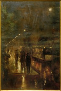
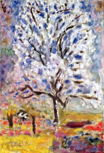
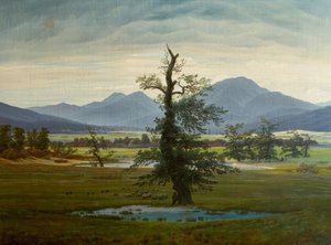
.jpg "Den blå grotten på Capri")
 - (MeisterDrucke-770).jpg "Den hellige treenighet (Troitsa)")
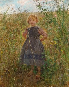
.jpg "Teppehandleren")

 +43 4257 29415
 support@meisterdrucke.com
 Mo-Do: 7:00 - 16:00 | Fr: 7:00 - 13:00